
Oxford Green Belt Way
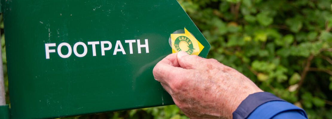
The Oxford Green Belt Way is a 50 mile circular route around the city created by CPRE Oxfordshire, offering amazing views of Oxford’s ‘dreaming spires’ and passing through historic villages and stunning countryside such as Foxcombe Hill, Otmoor and Wytham Woods, and alongside breathtaking stretches of the River Thames near Abingdon and the Oxford Canal north of Oxford.
View Interactive MapCurrent Diversions
Stage 6 – Swinford Bridge to Wolvercote
From 20 July 2026 up to and including 23 October 2026 there is a Temporary Footpath Closure of Wytham Footpath 1, for essential bridge stabilisation work at Wytham Mill Bridge. A signed diversion is in place and is shown here. Closure marked in red, and the diversion is marked in blue.
If you come across any issues along the route, e.g. broken stile, overgrown section, please contact us on campaign@cpreoxon.org.uk and we will report the issue to the relevant council.
About CPRE Oxfordshire and the Oxford Green Belt
The Campaign to Protect Rural England (CPRE) Oxfordshire is a local countryside charity dedicated to promoting, protecting and enhancing Oxfordshire’s landscapes. As part of its work to safeguard the countryside around Oxford, CPRE Oxfordshire created the Oxford Green Belt Way in 2007 to celebrate its 75th anniversary and to highlight the importance of the Green Belt. Collaborators on the project are the Oxfordshire Field Paths Society and Oxfordshire County Council’s Countryside Service.
The Oxford Green Belt itself is a designated area of protected open land surrounding the city. Its purpose is to preserve Oxford’s unique historic setting, prevent urban sprawl, and protect nearby villages and countryside from development. It also provides accessible green space for local communities and visitors alike.
Often described as the “countryside next door,” the Green Belt offers a vital balance between urban life and natural landscapes—supporting biodiversity, recreation, and wellbeing.
Buy the Official Guide
To make the most of your journey, you can purchase the official Oxford Green Belt Way Guidebook, produced by CPRE Oxfordshire.
The guide includes:
- Detailed route descriptions
- Ordnance Survey maps for each stage
- Background on local history and wildlife
- Practical navigation tips
Designed to be lightweight and easy to carry, it’s an ideal companion for exploring the route.
About the Oxford Green Belt Way
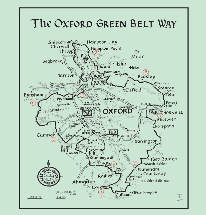
The Oxford Green Belt Way is a 50-mile (80 km) circular walking route that encircles the city of Oxford, guiding walkers through some of the most beautiful and varied countryside in Oxfordshire.
Designed to showcase the value of the Green Belt, the route passes through:
- Waterside stretches along the River Thames, River Cherwell, and Oxford Canal
- Rolling hills and scenic viewpoints such as Foxcombe Hill
- Wildlife-rich landscapes like Otmoor
- Woodland areas including Wytham Woods
- Historic villages and rural communities
The trail is divided into nine manageable stages, making it ideal for both day walks and longer-distance challenges. It is well waymarked and accessible via public transport links, including park-and-ride sites and railway stations.
Each mile of the route symbolically represents a year since the introduction of Green Belt policy in 1956—reinforcing its conservation message.
Explore the Countryside Around Oxford
Whether you choose to walk a single section or complete the full circuit, the Oxford Green Belt Way offers a unique opportunity to experience the landscapes that define Oxford’s setting.
It’s more than just a walking route—it’s a celebration of protected countryside, created to ensure that future generations can continue to enjoy the beauty of Oxford’s Green Belt.
To help us look after and improve this wonderful route, please consider donating to our crowdfunder https://www.justgiving.com/charity/cpreoxon